Hells Canyon National Recreation Area: 50 Years of Wonder
On the eastern edge of Oregon, along the border with Idaho, is one of the great natural wonders of North America. Here, in this varied landscape of towering basalt cliffs, snow-covered alpine peaks, wild whitewater rivers, and a dry and arid desert, lies Hells Canyon, the deepest canyon on the continent.
This might sound like a surprising claim when the same continent is home to the Grand Canyon, yet Hells Canyon eclipses its Arizona cousin by 1,993 feet. The great Snake River began carving Hells Canyon out of the expansive plateau about six million years ago. The river plunges more than a mile below Oregon’s west rim and 8,000 feet below the He Devil peak of Idaho’s Seven Devil Mountains.
In 1975, this gigantic, scenic, unrivaled place was protected and preserved as a national recreation area. But that’s only part of Hells Canyon’s story.
You won’t find roads across the canyon’s 10-mile-wide expanse. Events like the spillover of Lake Bonneville at what is now American Falls, Idaho, about 15,000 years ago helped form the canyon’s width and large terraces. Only three Oregon roads lead to the Snake River between Hells Canyon Dam and the Oregon-Washington boundary. In short, it’s not easy to get around here by car. This rough and rugged place is difficult to fully appreciate if you’re not hiking, boating or horseback-riding.
The full expanse of the Hells Canyon National Recreation Area includes 652,488 acres of wild, scenic beauty and remote landscapes. If you like solitude, there’s plenty here to come by. You’ll also find vistas that rival anything on the continent, world-class whitewater boating, prehistoric tribal artifacts, and remnants of non-Indigenous settlements.
The rock, water, plant and animal life, artifacts, and remnants here tell the story of a place that’s survived thousands of years of evolving ideas on what it means to live on the land and value its resources.
The earliest known human residents of the Hells Canyon region were the Nez Perce (Nimiipuu) people. A Clovis point found near the southern part of the canyon shows that humans may have been here as early as 15,000 years ago. If you were part of that group first entering the area, you likely would have been awestruck by its incredible size and abundance of fish, game, berries, roots and fresh water. The warm summer climate and places to shelter during the harsh winter made Hells Canyon attractive to the area’s Indigenous people.
During the Lewis & Clark Expedition, Sgt. John Ordway visited Hells Canyon on an ill-fated fishing trip. Sent by the then-starving expedition to locate food, he and two companions encountered a helpful Nez Perce village in the spring of 1806. The villagers provided fish for their camp, but unfortunately, the four-day return journey meant most of the fish spoiled. However, Ordway and his companions returned with news about the canyon, the river and creeks, and the Indigenous people. Ordway was one many non-Indigenous travelers to find Hells Canyon a challenging place to navigate.
The fur trade and gold miners followed, with people who saw value in Hells Canyon for what could be extracted from its resources. Protestant missionaries arrived in the 1830s. This led to a flood of trespassers on Indigenous land. While conflicts had occurred between tribes prior to white settlers entering the territory, the colonization of the area led to internal mistrust and fractured relationships within tribes as well as with the newcomers.
Colonization and greed eventually overwhelmed the area, and a treaty shrinking Nez Perce territory was signed. But it didn’t end there. In 1877, the Nez Perce were forcibly driven from their land and their homes in what is now Wallowa County. A group of roughly 800 Nez Perce, led by Chief Joseph (Hinmatóowyalahtq̓it), refused relocation to a reservation, opting instead to seek a new home. It was meant to be a peaceful journey, but there were skirmishes with settlers. The U.S. Army pursued the group for hundreds of miles before Chief Joseph eventually surrendered. Some Nez Perce did escape to Canada, but most, including Chief Joseph, were sent to Kansas and Oklahoma. While they were later permitted to return to the Northwest, they were not allowed to return to Oregon.
In time, the fur trappers and gold miners extracted the canyon’s resources to the extent possible. Beaver fur went out of fashion and gold mines ran dry. For those who stayed in this wild land, navigating the canyon remained a challenge. It was unsuitable to build rail travel across; there were no bridges and few roads; and the population was sparse. What could innovative and ambitious people who saw the benefit of Hells Canyon’s resources do?
The answer was hydropower. –
Hells Canyon was ideally suited for hydroelectric dams, which generally require large rivers with high canyon walls where they can be built to create a reservoir of water. And the higher the waterfalls, the more kinetic energy captured to create electricity. What could be more perfect than the deepest canyon in North America, carved from the wild Snake River? Over the years, Idaho Power built three low dams: Brownlee (1958), Oxbow (1961) and Hells Canyon (1967).
These dams created reliable, consistent energy for the region. They also contributed to building a robust system of agricultural irrigation and barge traffic lanes for shipping. But none of them included fish passage; instead, they blocked fish from making their way upriver to the Snake River Basin. This spurred concerns about dwindling fish populations. In 1964, when the Federal Power Commission issued a license for another dam in the canyon, those concerned about the ongoing environmental impact took action.
The U.S. Department of the Interior issued objections to the new dam, citing concerns about fish and other issues plaguing the environment. Citizens groups formed in opposition as well. The Department filed a lawsuit against the license, but the license was upheld by an appeals court. In an historic decision, the U.S. Supreme Court overturned the lower court. Justice William O. Douglas wrote the opinion. Douglas along with his colleagues interpreted the law to mean that sometimes no development, including building a dam, was the best course of action.
This series of events changed the perception of Hells Canyon from a place valued for extracting resources to one valued for its natural beauty, access to recreation, and habitat for important plant and animal species. Newly elected U.S. Senator Bob Packwood from Oregon enthusiastically sponsored the bill to create Hells Canyon National Recreation Area, which President Gerald Ford signed into law in 1975. The law set aside some 652,000 acres of Hells Canyon as a recreation area and 192,000 acres as wilderness and added 62 miles of the Snake River to the National Wild and Scenic Rivers System.
This series of events changed the perception of Hells Canyon from a place valued for extracting resources to one valued for its natural beauty, access to recreation, and habitat for important plant and animal species. Newly elected U.S. Senator Bob Packwood from Oregon enthusiastically sponsored the bill to create Hells Canyon National Recreation Area, which President Gerald Ford signed into law in 1975. The law set aside some 652,000 acres of Hells Canyon as a recreation area and 192,000 acres as wilderness and added 62 miles of the Snake River to the National Wild and Scenic Rivers System.
Today efforts continue among tribal, federal and private partners to help restore salmon populations and keep Hells Canyon wild and undeveloped. It’s as if we’ve come full circle, once again valuing this place for its animals, plants, rock and free-flowing river. Some of the Nez Perce people are finding their way home to these ancestral lands, with hope that more can return.
While you can look at pictures and watch videos of the Hells Canyon National Recreation Area, the only way to truly understand this vast, rugged, beautiful landscape is to spend time there in person. It’s virtually impossible to appreciate the scale of the deepest canyon in North America without standing at the bottom, looking upward toward the top of a ridge that can’t be seen because it’s just too tall. It’s hard to perceive how a person can be in an alpine forest at the beginning of the day and in a desert climate at day’s end without leaving the recreation area, unless you make the descent yourself.
Among these mountains, meadows, trees, sage and water, Hells Canyon allows us to be small for a time and simply appreciate our place in an area that’s so much more than what we take from it. – Be prepared to visit call out box in this section.
Sources
Spokesman Review, 2007: Site found that Lewis-Clark party visited
Oregon Encyclopedia: Hells Canyon
Oregon Encyclopedia: Lewis and Clark Expedition
US Forest Service: Wallowa Whitman National Forest
US Geological Service: The Flight of the Nez Perce
Oregon Humanities: Rustification and Return, One hundred and forty-seven years of tourism in the Wallowa Country, Rich Wandschneider
Nez Perce Country by Alvin M. Josephy, Jr., 2007, University of Nebraska Press
Cáw Pawá Láakni / They Are Not Forgotten, Sahaptian Place Names Atlas of the Cayuse, Umatilla, and Walla Walla by Eugene S. Hunn, E. Thomas Morning Owl, Phillipe E. Cash Cash, Jennifer Karson Engum, 2015, Confederated Tribes of the Umatilla Indian Reservation, University of Washington Press
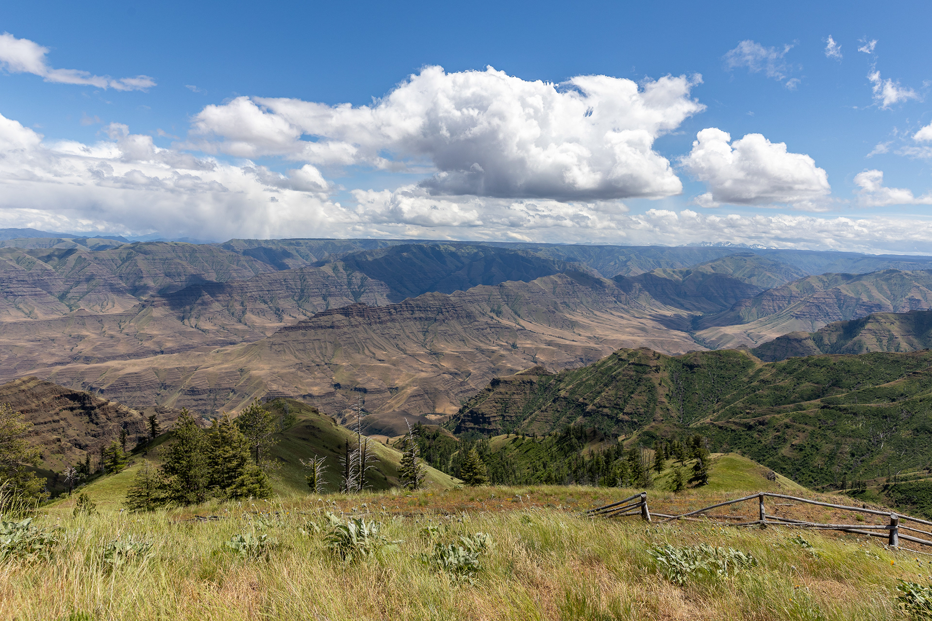
Buckhorn Viewpoint, Hells Canyon National Recreation Area
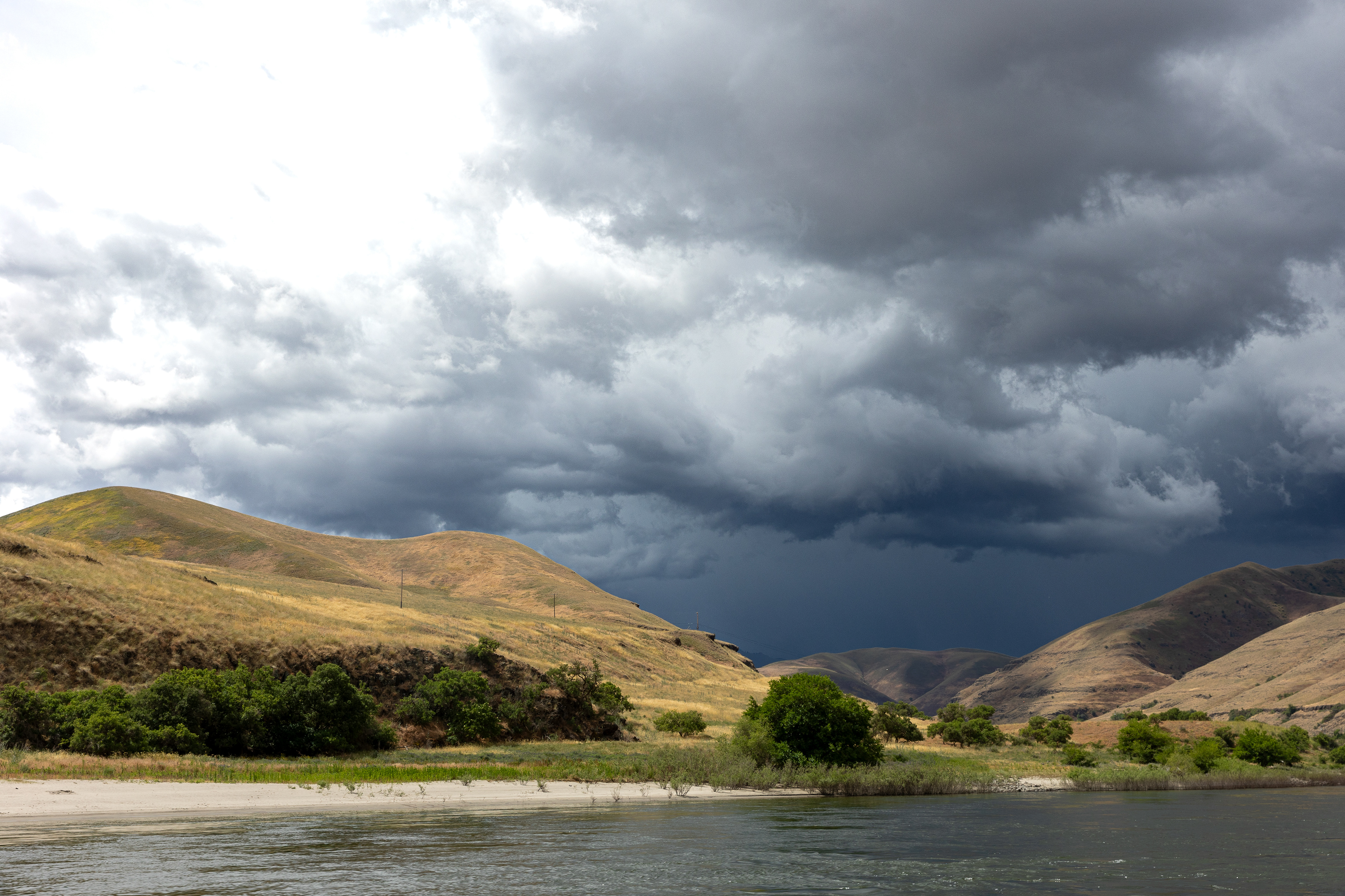
Snake River, Hells Canyon National Recreation Area
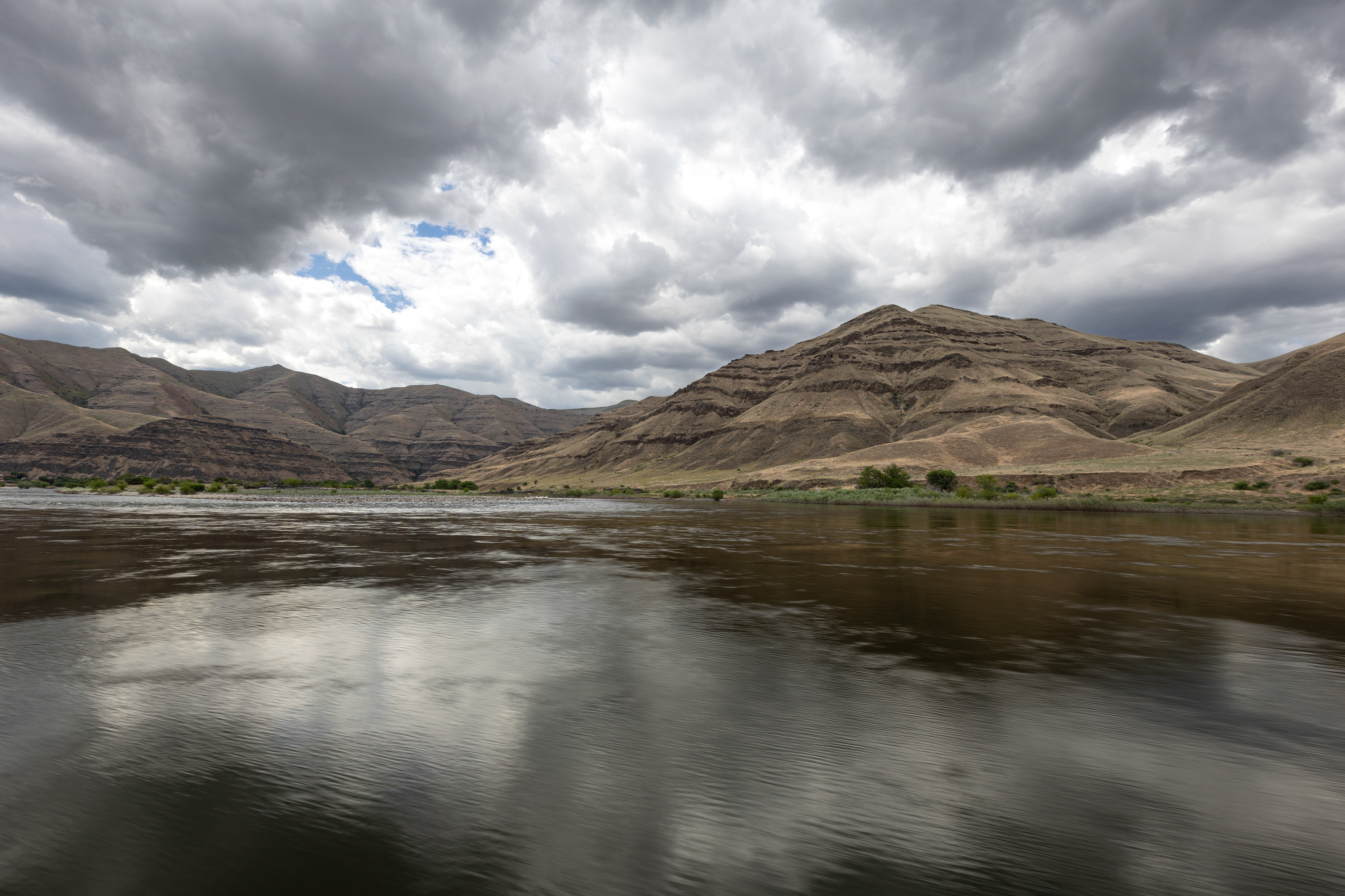
Snake River, Hells Canyon National Recreation Area
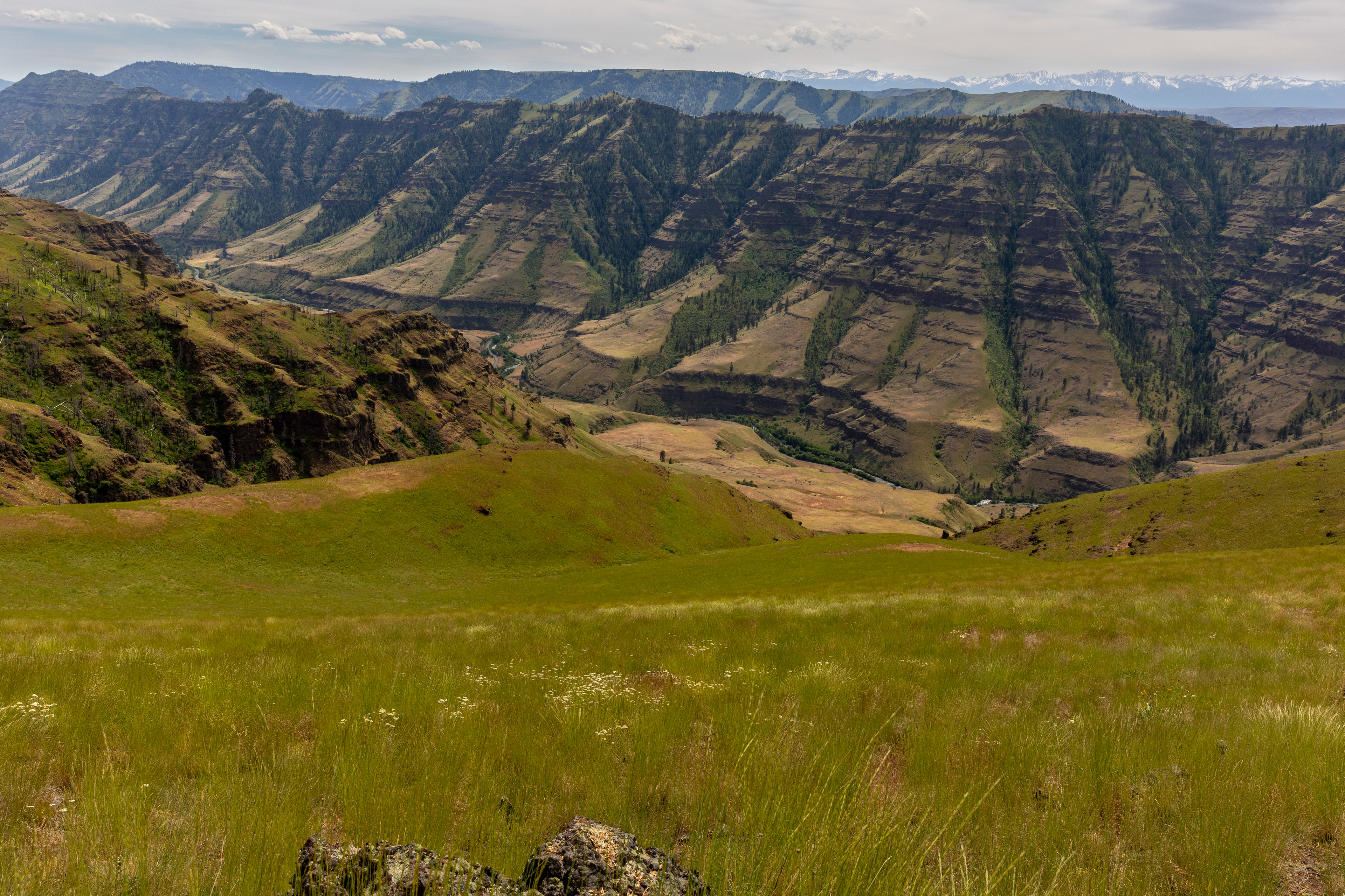
Five Mile Overlook, Hells Canyon National Recreation Area
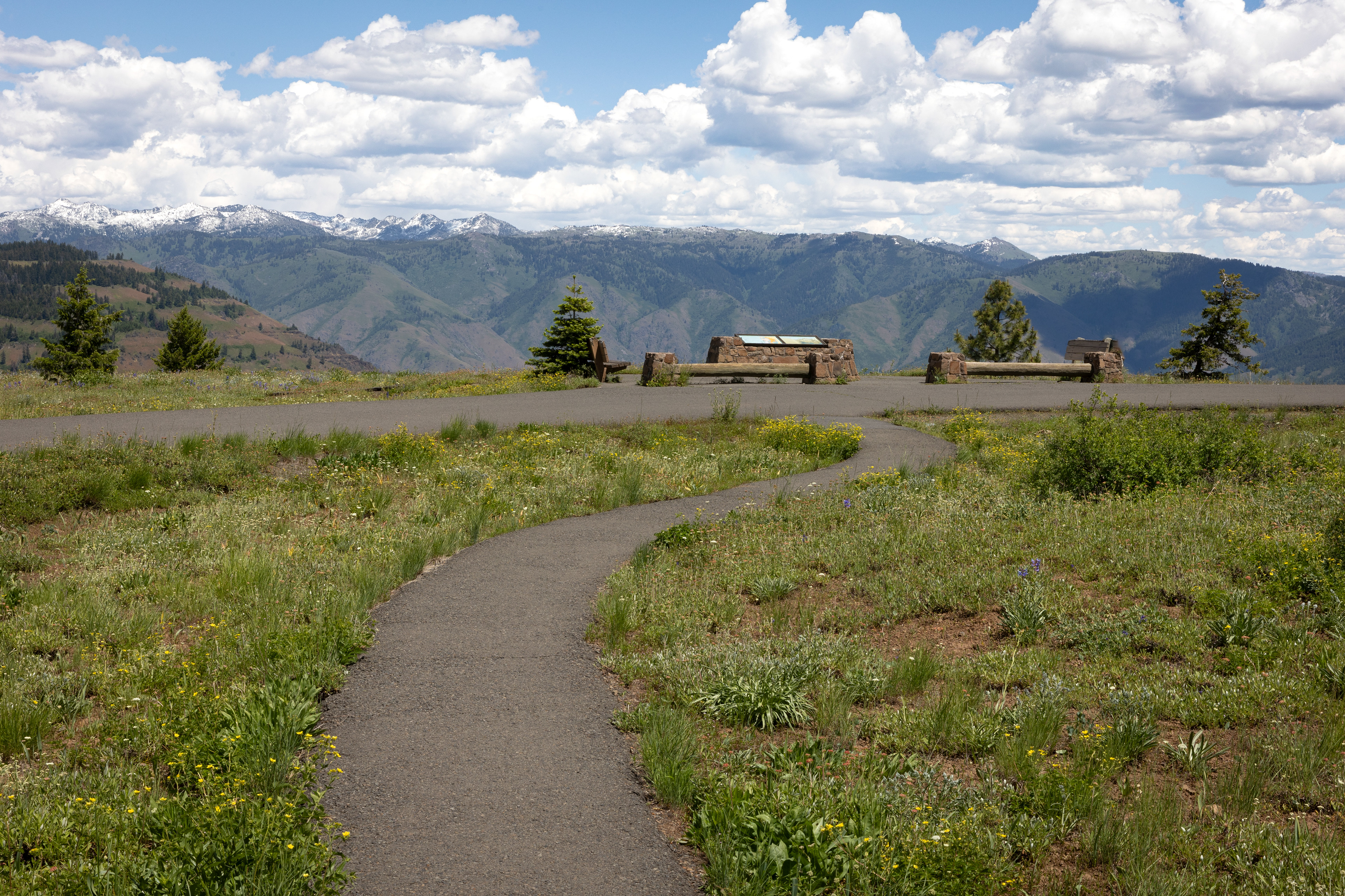
Hells Canyon Overlook, Hells Canyon National Recreation Area
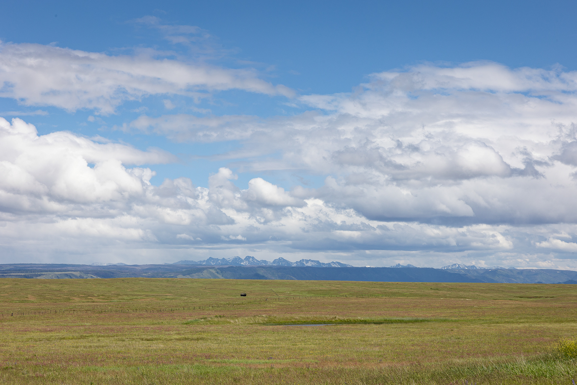
Zumwalt Prairie, Hells Canyon National Recreation Area
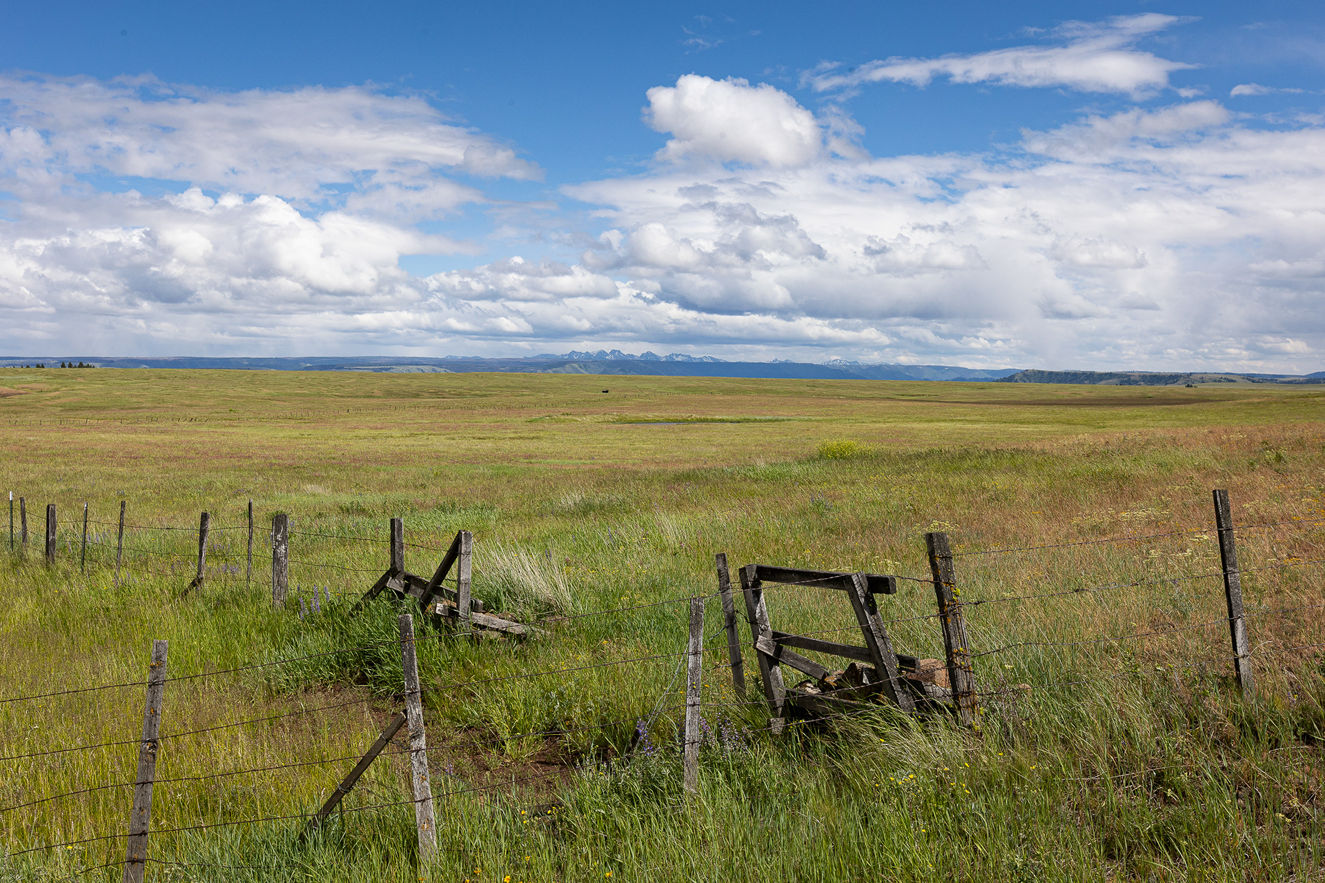
Zumwalt Prairie, Hells Canyon National Recreation Area
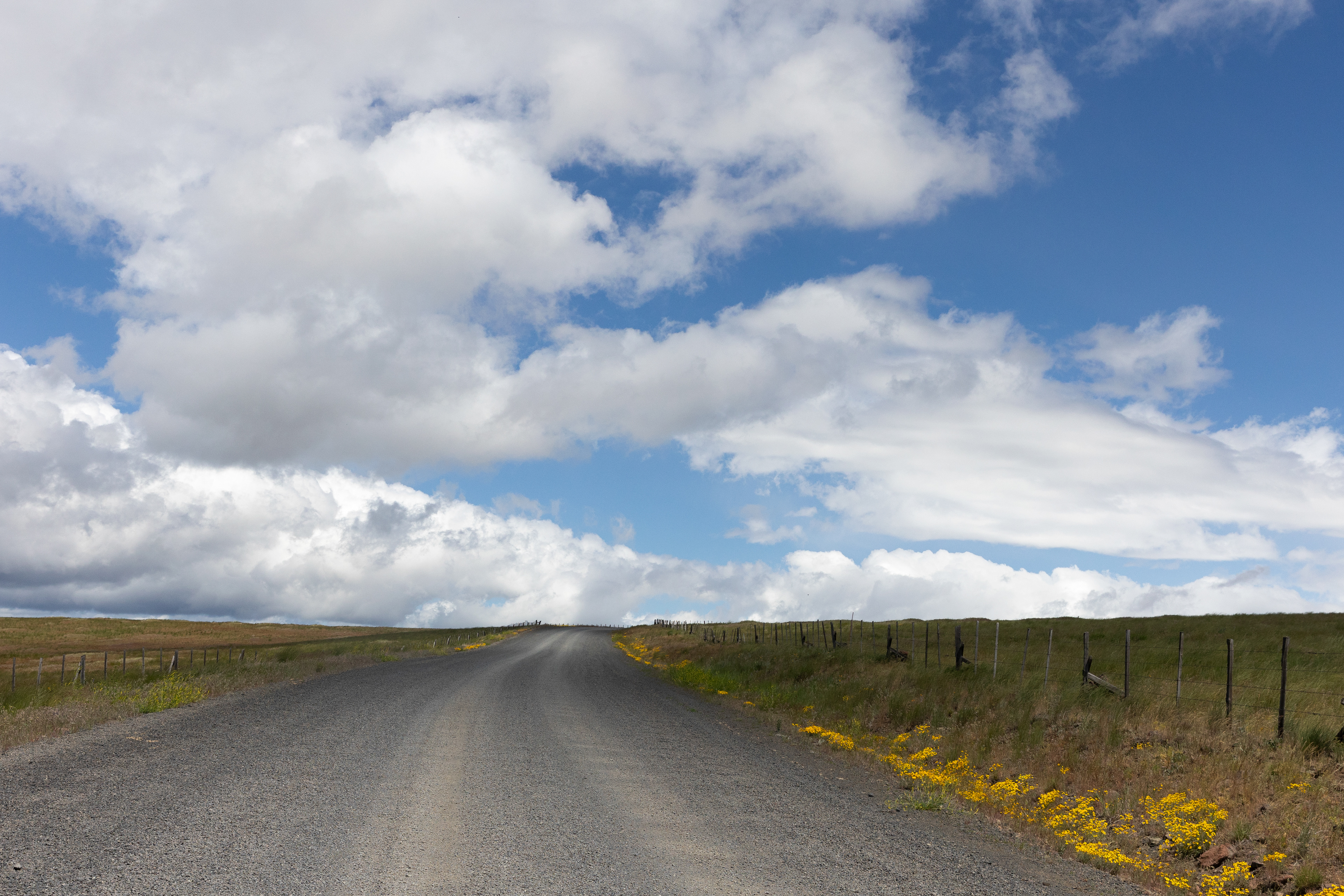
Zumwalt Prairie, Hells Canyon National Recreation Area
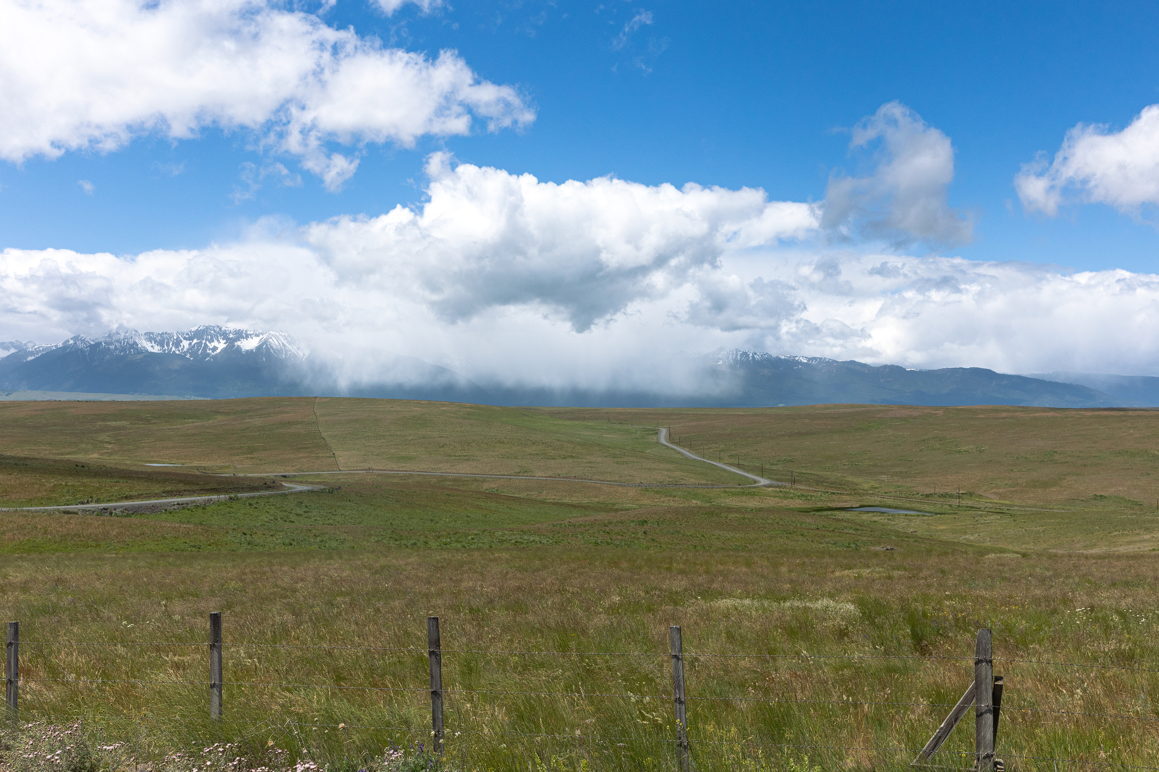
Zumwalt Prairie, Hells Canyon National Recreation Area
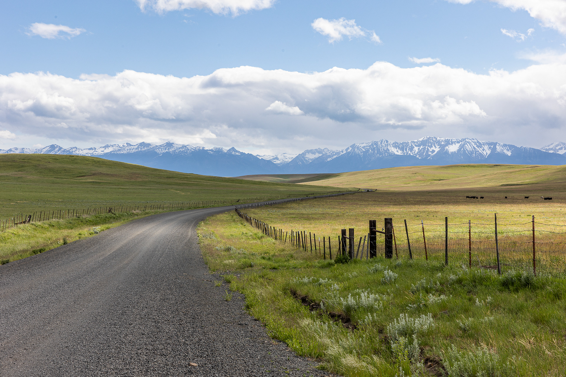
Zumwalt Prairie, Hells Canyon National Recreation Area
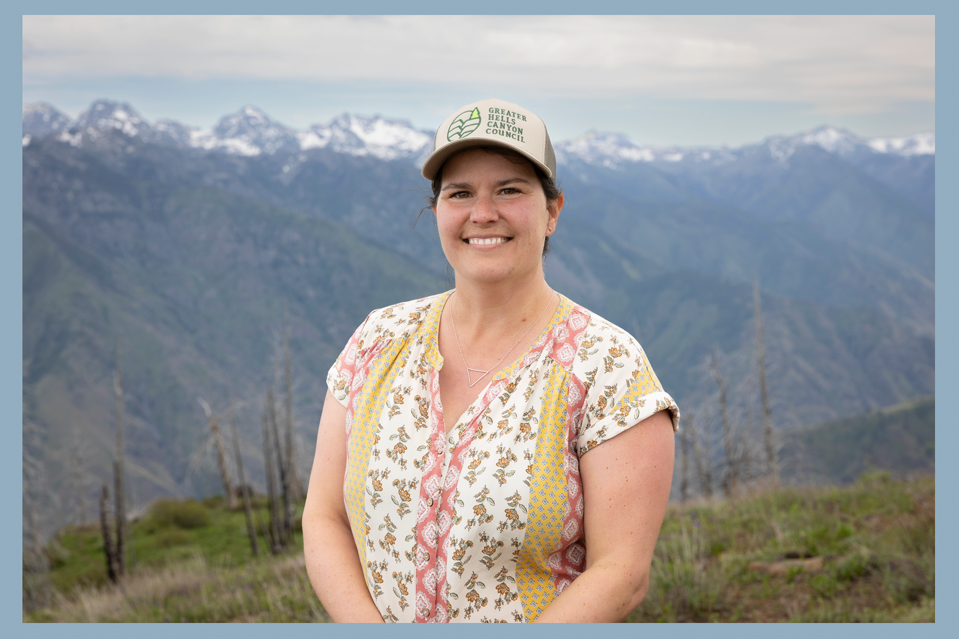
Emily Cain from Greater Hells Canyon Council at Hat Point, Hells Canyon National Recreation Area